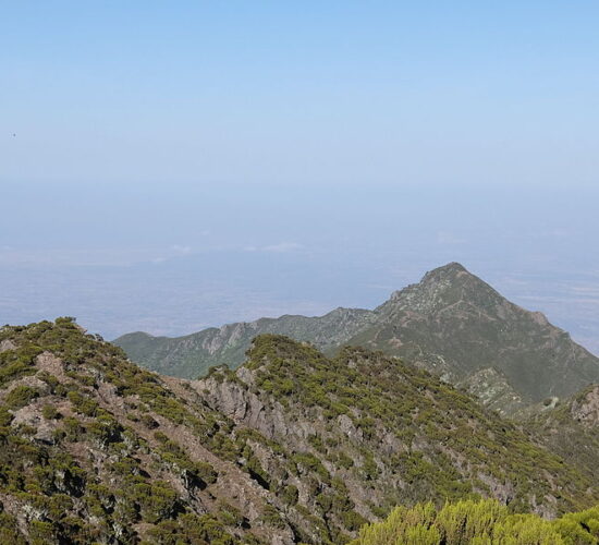
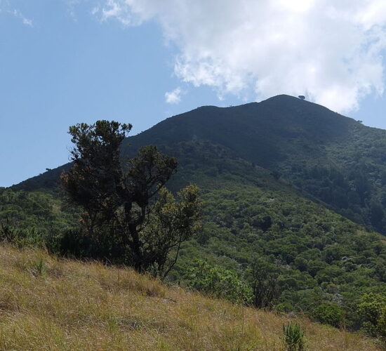
Mount Hanang is situated above the town of Katesh, in the central-north region of Tanzania. From Arusha, the drive will take you about four hours via car or half a day via public bus.
Once in the town head to the Summit Hotel, which is the unofficial meeting point for guides and hikers. This is also where you will spend the night before and/or after your trek if you are spending the night. Unfortunately, they haven’t got their pin on Google Maps for some reason but everyone in Katesh knows the hotel. The closest pin on Google Maps to the Summit Hotel is the Star Lights Bar. This bar is basically a pin next door so will get you to the Summit Hotel. I’ve added that pin location on the map below for you.
Hike Distance: The total distance of the hike is 17.5km out and back (return trip)
Hike Duration: This depends a lot on your speed and how much gear you are carrying. The ascent can be completed in about 5-6 hours and the descent can be completed in about 3 hours. This obviously depends on your ability to hike uphill with gear. Our total moving time was just six hours and twenty minutes (for the return trip/up and down) according to the Garmin, which doesn’t count any rest breaks or stops and sleeping at the summit. We left at 11 am and made it to the summit at 3:40 pm in time for a chill and sunset and then the next morning took about 2-3 hours to slowly hike down with a nice big break for breakfast at the regular campsite (3,100m)
Hike Difficulty: This trail is quite difficult due to the extreme incline. In 8.5 kilometers you will ascend more than 1600 meters and this is done at a high elevation. The hike will reach 3,423m by the time you are at the summit so expect to be short on breath. The terrain is rocky and involves a lot of concentration as you step on boulders and rocks making sure not to slip on the ascent and also the descent. There are many sections where you will need to be sure-footed but not any big drop-offs or moments of exposure. Basically, if you can handle the incline, weather, and cold camping conditions you are all set for this one.
Hike Incline: 1,791 meters (return trip).
Tanzania is a little bit interesting to get around but there are several options to reach Mount Hanang from Arusha. Firstly, there is a public transport van or bus that drives from Arusha to Katesh and you can get out at Katesh and simply walk to the tourism office, which isn’t too far. Depending on your bus you may need to switch vehicles in Babati but your driver can confirm that for you.
There are a few options when planning the trip in terms of pricing.
Important: You cannot do this hike without a guide and there are big fines for doing so. There are so many locals at the lower stages that will see you so it’s not even worth the risk. I love solo adventures so I asked about going by myself but it’s not even an option.

